R & GIS in R
What is R and why use it?
There are several advantages to using R in your work, especially as the R ecosystem as exanded and R has become the default langauge for many scientists.
- A language and environment for statistical computing and graphics
- R is lightweight, free, open-source and cross-platform
- Works with contributed packages - currently 12,325 -extensibility
- Automation and recording of workflow (reproducibility)
- Optimized work flow - data manipulation, analysis and visualization all in one place
- R does not alter underlying data - manipulation and visualization in memory
- R is great for repetative graphics
Why use R for GIS workflows?
- Spatial and statistical analysis in one environment
- Leverage statistical power of R (i.e. modeling spatial data, data visualization, statistical exploration)
- Can handle vector and raster data, as well as work with spatial databases and pretty much any data format spatial data comes in
- R’s GIS capabilities growing rapidly right now - new packages added monthly - currently about 180 spatial packages
Drawbacks to using R for GIS work
- R not as good for interactive use as desktop GIS applications like ArcGIS or QGIS (i.e. editing features, panning, zooming, and analysis on selected subsets of features)
- Explicit coordinate system handling by the user, no on-the-fly projection support
- In memory analysis does not scale well with large GIS vector and tabular data
- Steep learning curve
- Up to you to find packages to do what you need - help not always great
An ideal solution for many tasks is using R in conjunction with traditional GIS software.
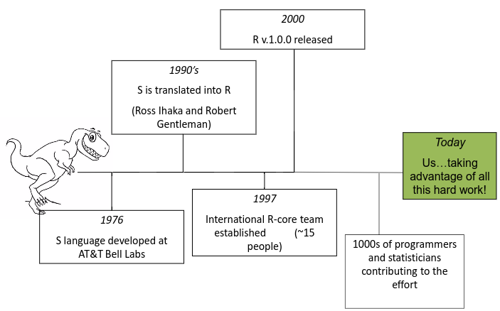
R runs on contributed packages - it has core functionality, but all the spatial work we would do in R is contained in user-contributed packages. Primary ones you’ll want to familiarize yourself with are sp, rgdal, sf, rgeos, raster - there are many, many more. A good source to learn about available R spatial packages is:
CRAN Task View: Analysis of Spatial Data
Next section:
Installing R